
ERDC/CHL CHETN-I-68
March 2004
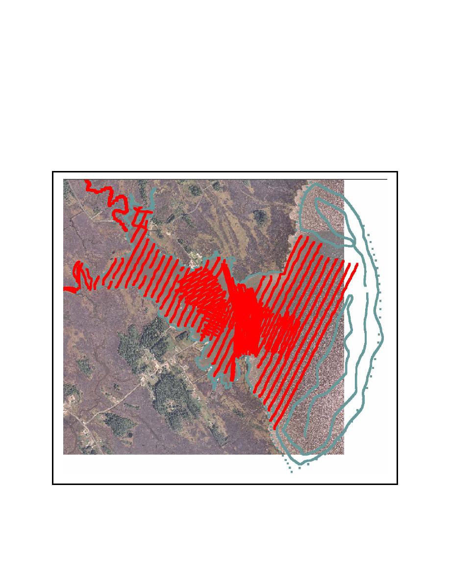
Scatter module. Figure 3 shows the bathymetry and coastline scatter sets overlaid on the background
image.
Coordinate System and Datum Reference. All data must be geo-referenced to be useful. So
the bathymetric and coastline data must also be converted to the same coordinate system to be
properly merged. A copy of the "CORPSCON" conversion utility is contained within SMS. Since the
earth is round, it is not possible to have exact x/y-coordinates based on latitude and longitude. Thus,
the world is divided into smaller rectangular sections that permit more precise measurement in
horizontal and vertical directions. The Web site at the University of Texas gives a good description
of the different coordinate systems http://www.ncgia.ucsb.edu/education/cirricula/giscc/units/
Figure 3.
Scatter data points representing bathymetric survey locations for Tedious Creek
5

 Previous Page
