ERDC/CHL CHETN-I-68
March 2004
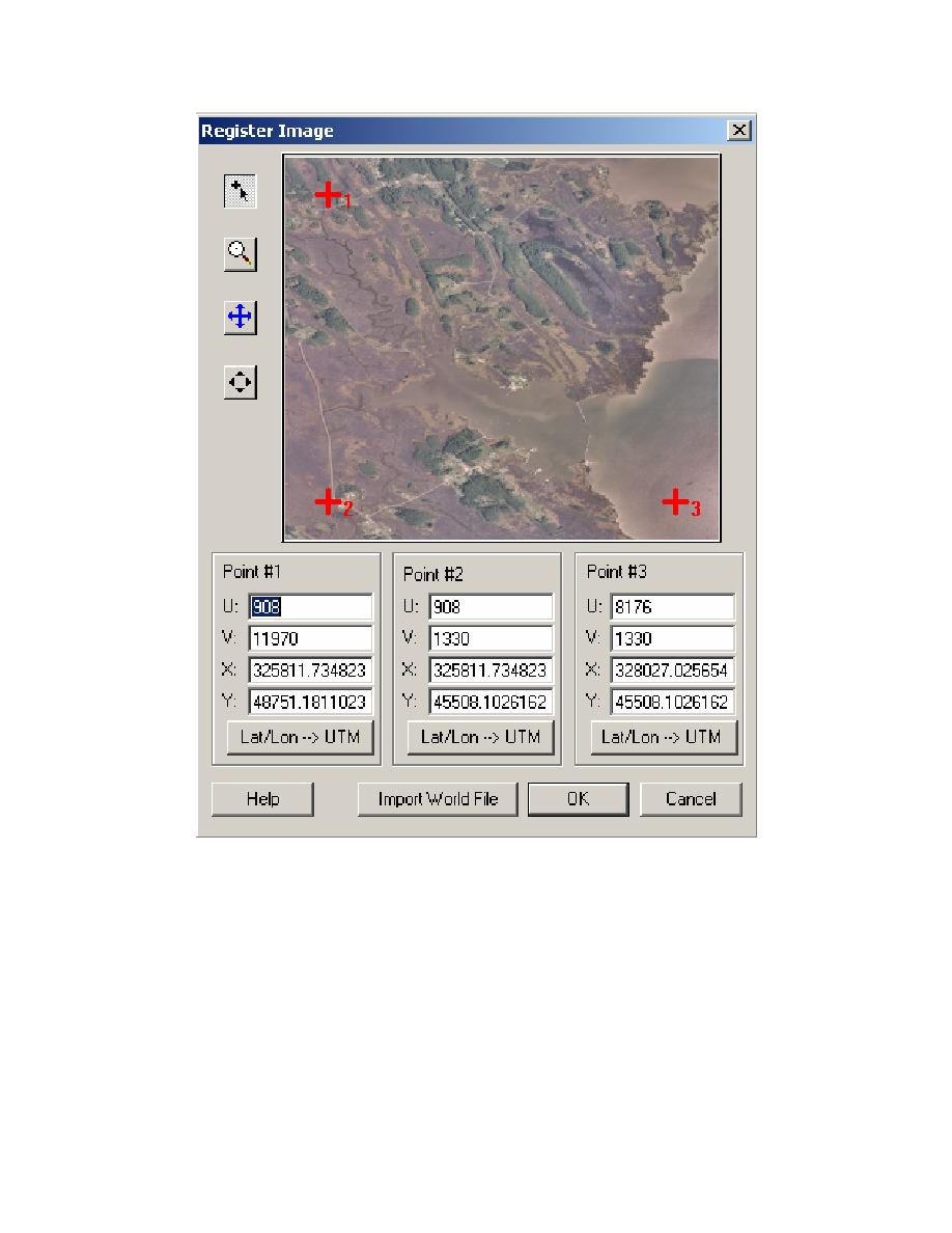
Figure 2.
Registering image of Tedious Creek, MD
sufficient distance offshore to cover the one-dimensional (1-D) transects (see following section).
Sources of bathymetric data are previous studies, local surveys, and databases including
GEODAS, the worldwide geophysics database. In this study, survey data from August 2001 were
available in the file Tedious_Aug01_harbor_water_depth_meter.xyz for the inner harbor and
Ted_cr_mllw_m.xyz for the offshore area. The bathymetric data are named elevation, by default.
Coastline data defines the "wet" edge of the model for the land-water interface. The data file
Tedious_Aug01_landedge_survey_meter.xyz was obtained by walking the bank line with a hand-
held global positioning system (GPS) and was used to define the land edge. It was also input in the
4


 Previous Page
