
ERDC/CHL CHETN-I-70
May 2005
a. Zoom into the area being modeled.
, select the
b. In the Map module
Create Arc tool
.
c. Click on the coastline just north of
the data (P1 in Figure 4), then click
inland (P2) and then on the coastline
east of the simulation area (P3).
d. Switch to the Select Arc tool
and select the coastline away from
area of interest and hit the Delete
key to eliminate this arc (Arc to
delete in Figure 4).
e. Frame the display and drag a box
around the island arcs and delete
them. (This is easily done by
dragging a box around the islands on
the north side of Oahu and deleting
them, and then dragging a box
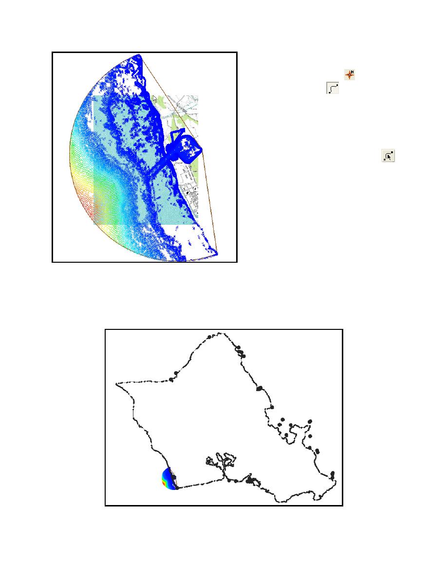
Figure 2. Bathymetry points for sample problem
around the islands on the east side.)
f. Build a polygon to represent the land around Barbers Point by selecting Feature
Objects|Build Polygons.
Figure 3. Coastline of Oahu
4

 Previous Page
