
ERDC/CHL CETN IV-23
March 2000
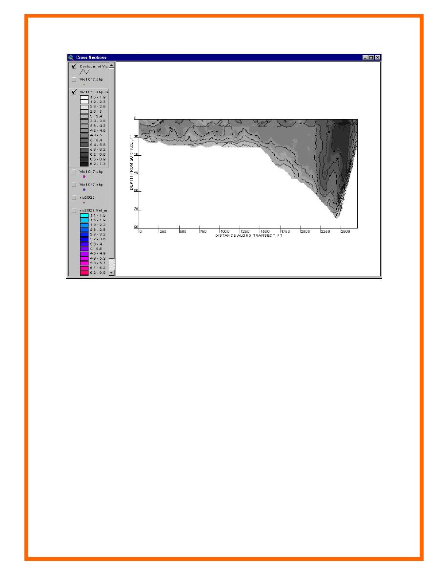
Figure 3. Cross section of Victoria Bend in the Mississippi River
This tool allows the user to import digital photographs and images and attach them to specific
spatial locations throughout the study area. The images are stored using a separate image theme
as shown in Figure 4. On the image theme, a small solid filled circle with an "i" denotes the
locations of the images. Presently, a maximum of 10 digital images can be stored at each spatial
location. This tool is useful for recording conditions at a site or progress of a construction site.
Images allow the user the opportunity to store and display instruments, flow conditions, historic
photos, and other visual information quickly and easily for reference.
Once the user has imported the photography, it is displayed by clicking on the spatial location to
which it was linked. Several photographs were added to a GIS project for Shinnecock Inlet, NY.
Two photographs are displayed showing the inlet at previous times in its history (Figure 4).
TIME SERIES ANALYSIS: HyPAS provides capabilities for importing, storing, analyzing,
and exporting time-series data. This is a project management tool that allows the user to have
time-series data flags throughout his project.
5

 Previous Page
