ERDC/CHL CHETN-I-65
June 2002
Comparisons of Physical and Numerical
Model Wave Predictions with
Prototype Data at Morro Bay Harbor
Entrance, California
by Robert R. Bottin, Jr. and Edward F. Thompson
comparisons of physical and numerical model wave predictions with prototype data obtained at
Morro Bay Harbor Entrance, CA. Physical and numerical model investigations were initially
conducted at the U.S. Army Engineer Research and Development Center (ERDC) as
reimbursable studies for the U.S. Army Engineer District, Los Angeles, and prototype data were
obtained during a monitoring effort at the site that was conducted as part of the Monitoring
Completed Navigation Projects (MCNP) Program. Validation of physical and numerical models
used in design with prototype data increases confidence levels in these tools for future
applications.
BACKGROUND: Morro Bay Harbor is located on the central coast of California about
midway between Los Angeles and San Francisco. The harbor is protected from the effects of the
open ocean by a Federal navigation project consisting of two permeable, rubble-mound
breakwaters, an inner harbor groin, and a stone revetment. The navigation channel commences at
the gap formed by the outer breakwaters and extends through a bay via three channel reaches. An
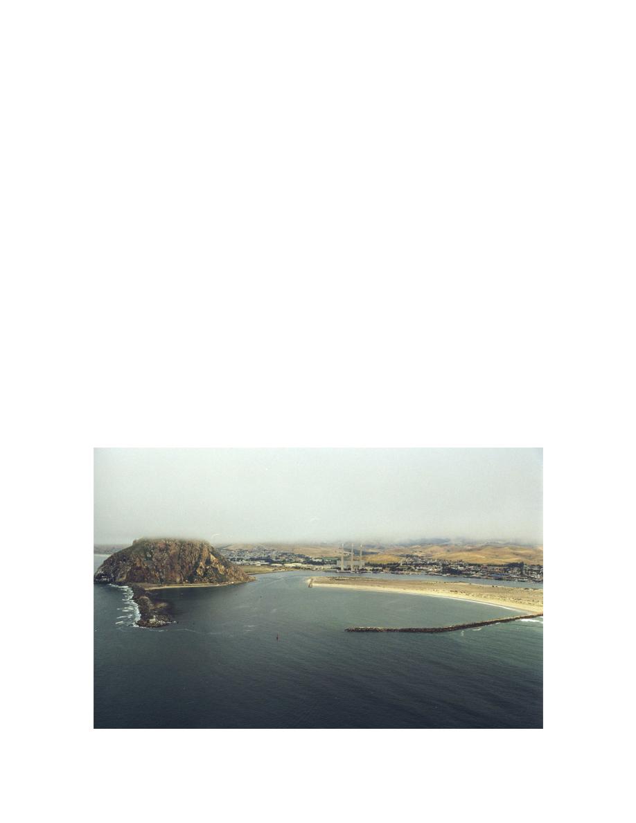
aerial view of the harbor entrance is shown in Figure 1.
Figure 1. Aerial view of Morro Bay entrance


 Previous Page
